
|
|
About Lake Anna (LKA)
About LKA
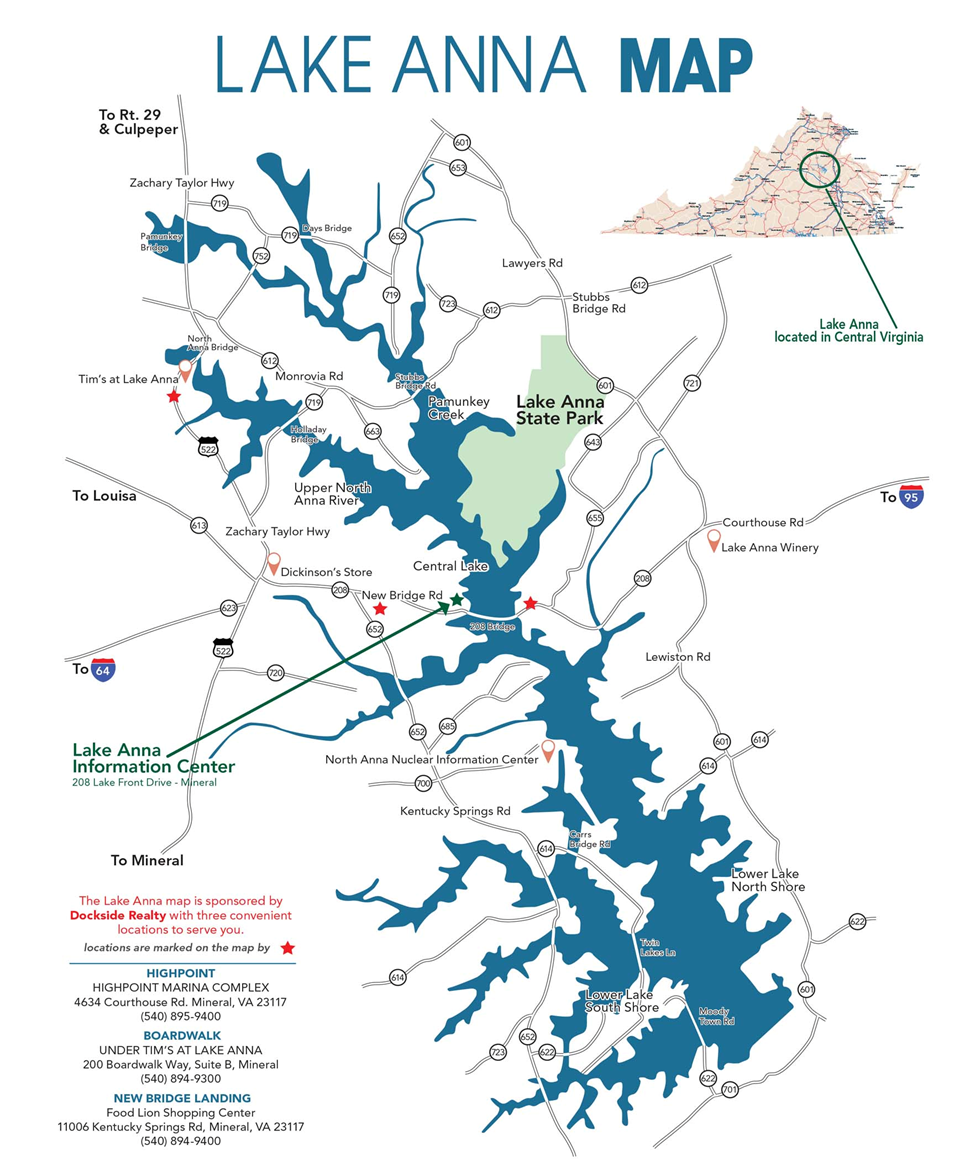
Lake Anna is one of the largest freshwater inland reservoirs in Virginia, covering an area of 13,000 acres, and located 72 miles south of Washington, D.C., in Louisa and Spotsylvania counties. The lake is approximately 17 miles long and includes roughly 200 miles of shoreline. Over 100 communities populate the lake's shores. The public side (or “cold side”) is about 9,000 acres, and the private side (or "warm side"), includes about 4,000 acres connected by three canals. The two sides are divided by three dikes constructed of stone. The nuclear power station powers 450,000 homes and provides 17% of Virginia's electricity, and the lake has become a destination for fishing, water sports, and many other activities.
History
Virginia Electric and Power Company (now Dominion Energy) purchased approximately 18,000 acres in 1968 to construct the North Anna Nuclear Power Station, its associated cooling system and a recreational lake. The land, which falls within three counties along the Pamunkey and North Anna Rivers, was cleared by 1972. Hurricane Agnes helped fill the lake ahead of schedule and Lake Anna was formed.
Activities
Lake Anna's public access portion (the "cold side") boasts a number of public access facilities including marinas, parks, and public fishing areas. The lake has become a premier location for watersports such as skiing, kayaking, boating, and many others. Attractions near the lake include restaurants, lodging, vineyards, golf, shopping, hiking, and others. The lake's economy continues to grow, and the Lake Anna Business Partnership is an excellent source of information on area businesses and activities.
The Virginia Department of Health maintains a website with healthy swimming information. SwimHealthyVA.com also includes a regularly updated water monitoring map.
The Department of Game and Inland Fisheries (DGIF) has primary law enforcement responsibility on the lake. More information is available on their website.
Fish: Striped bass, Walleye, Bluegill, Florida bass, Yellow perch, White perch
Max. depth: 80 feet (24 m)
Length: 16.78 mi
Surface elevation: 246′
Pages
- Home
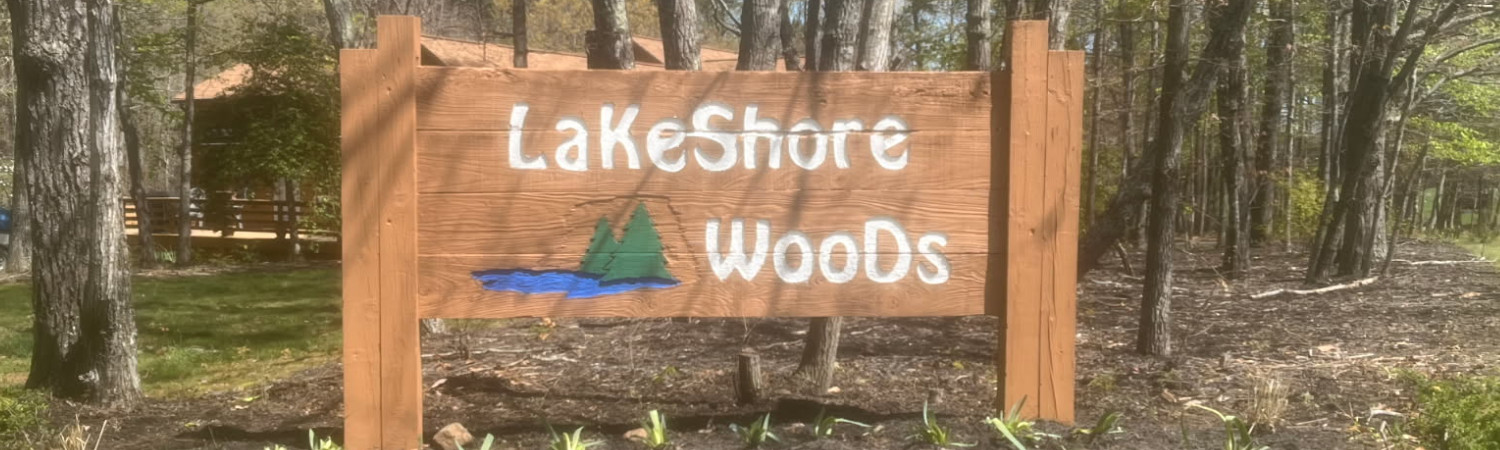
- About Lakeshore Woods
- Community Location
- About Lake Anna (LKA)
- Useful LKA Contact Info/Links
- Calendar
- Members Info
- LSW Private Facebook Group
- Articles/Bylaws/Covenants
- Current Slip Assignments
- Annual Meeting Agendas/Minutes
- Board Meeting Agenda and Minutes
- Member Contact Information
- LSWA Policies
- Community News
- Board Members
- Committees
- Photo Gallery
- Contact Us
- Frequently Asked Questions
- Board Members Info
- Current Board Info